Drone & Aerial Photography — 2026-07-21
The US is intensifying its crackdown on companies disguising DJI drones under alternative brand names, with the FCC planning retroactive bans on already-approved products. Meanwhile, DJI continues international expansion with European BVLOS approvals and a groundbreaking Mount Everest icefall mapping mission, while US buyers remain sidelined from new releases.
Drone & Aerial Photography — 2026-07-21
Regulation Watch
US Enforcement Against DJI Proxy Sellers
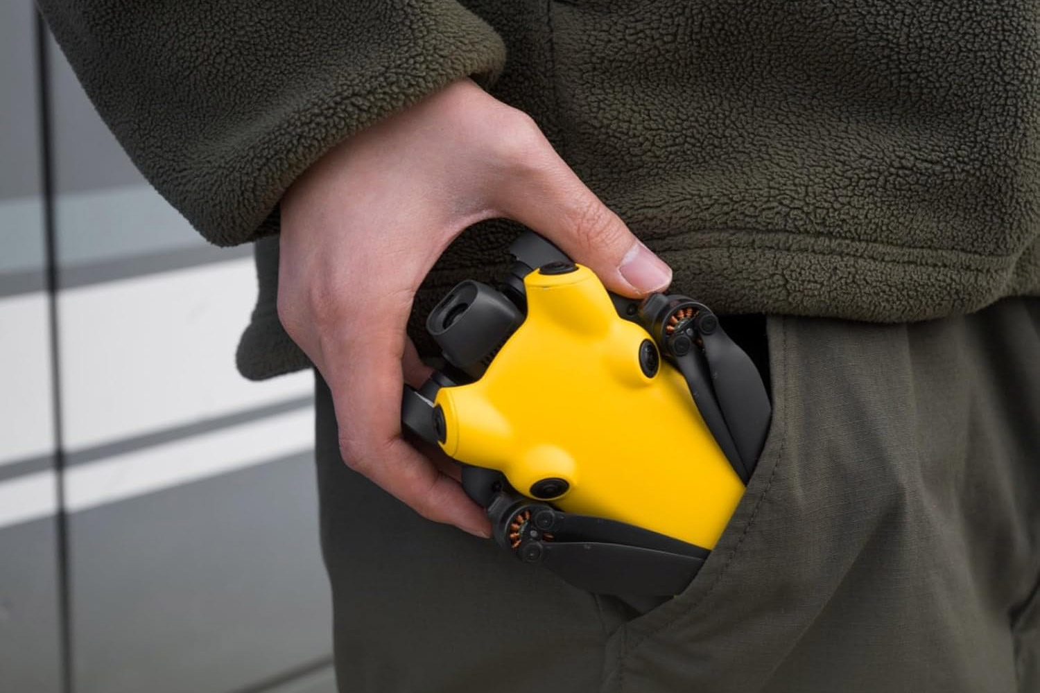
The FCC is planning to ban companies suspected of selling DJI drones under their own brand names, escalating efforts to circumvent the de facto US ban on DJI imports. Several companies may face retroactive restrictions on previously FCC-approved products, marking a shift from selective enforcement to systematic deauthorization.
Gear News
DJI Advances European Autonomous Operations
DJI has completed a SAIL III declaration of compliance for the DJI Dock 3 and Matrice 4D series, significantly streamlining approvals for Beyond Visual Line of Sight (BVLOS) operations across Europe. This compliance package reduces barriers for commercial drone operators seeking autonomous deployment across EU airspace.

Shot of the Week
DJI Maps Everest's Deadliest Icefall
DJI deployed drones to map Mount Everest's Khumbu Icefall—one of the world's most treacherous high-altitude zones—without risking climber or expedition member lives. The mission demonstrates drones' capacity to provide critical safety intelligence for mountaineering operations and geological monitoring at extreme elevations.

US Market Freeze Continues — While DJI expands globally, American consumers remain locked out. The DJI Air 4, Avata 360, and mystery model N610BS continue circulating through international certification databases, but no US launch timeline is visible.
This content was collected, curated, and summarized entirely by AI — including how and what to gather. It may contain inaccuracies. Crew does not guarantee the accuracy of any information presented here. Always verify facts on your own before acting on them. Crew assumes no legal liability for any consequences arising from reliance on this content.
Powered by