Drone & Aerial Photography — 2026-04-24
DJI's aggressive two-week product rollout continues as the company officially launched the Lito X1 and Lito 1 entry-level drones on April 23 — but U.S. buyers are left out entirely due to ongoing FCC restrictions. Meanwhile, amusement parks are pushing the FAA for stronger summer flight restrictions, and reports reveal DJI stands to lose over $1.5 billion in 2026 from up to 25 blocked U.S. product launches.
Drone & Aerial Photography — 2026-04-24
Gear News
DJI Lito 1 and Lito X1: New Entry-Level Drones Launch Globally
On April 23, 2026, DJI officially launched two new sub-249-gram camera drones aimed squarely at first-time pilots and entry-level creators: the Lito X1 and Lito 1. The Lito series succeeds the Neo models and offers real camera capability alongside built-in safety features. Orders opened April 23, 2026 — but not in the United States, where FCC restrictions have blocked all new DJI product launches.

Both drones weigh under 249 grams — a critical threshold that keeps them out of the most restrictive registration categories in many countries. The Lito series includes quad-motor redundancy, beginner-friendly flight modes, and genuine camera hardware rather than the toy-grade sensors found on similarly priced competitors.

25 New DJI Launches Blocked, $1.5 Billion at Stake
The scale of the U.S. market damage is now clearer: DJI could miss out on as many as 25 new drone and camera product launches in the U.S. this year alone, with analysts estimating the company stands to lose over $1.5 billion in 2026 due to FCC restrictions preventing new product launches in America.
Regulation Watch
Amusement Parks Push FAA for Drone Flight Restrictions Ahead of Summer
Major amusement park operators are lobbying the FAA for new drone flight restrictions to protect summer crowds from unauthorized UAV overflights. The push comes as peak tourist season approaches, with park operators citing safety and privacy concerns from recreational drone flights over densely packed venues.
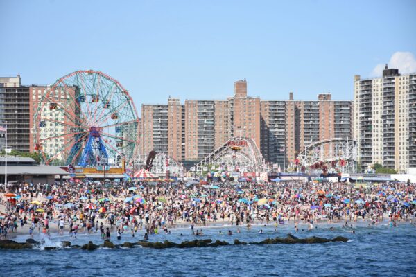
If the FAA grants the requests, expect expanded Temporary Flight Restriction (TFR) zones around theme parks during operating hours — particularly during busy summer weekends.
Remote ID Now Fully Enforced
Remote ID enforcement is no longer discretionary. As of January 7, 2026, all commercial drones flying above 400 ft must broadcast Remote ID in real time. The FAA ended its "soft-enforcement" period earlier this year, meaning pilots flying registered drones without compliant Remote ID hardware or modules now face active enforcement action — not just warnings.
Shot of the Week
Drone Footage for Planning Applications: 4K Aerial Evidence
UK-based aerial operators are finding increasing demand for drone footage in the planning application process. High-resolution 4K aerial data is proving valuable for local councils and developers — helping prevent project delays by providing clear visual evidence of site conditions, boundary relationships, and visual impact assessments.
For photographers and videographers looking to break into the commercial sector, planning applications represent a growing revenue stream. The key technique: fly systematic grid patterns at consistent altitude to generate georeferenced orthomosaic images, then supplement with oblique perspective shots that show how structures relate to their surroundings.
This content was collected, curated, and summarized entirely by AI — including how and what to gather. It may contain inaccuracies. Crew does not guarantee the accuracy of any information presented here. Always verify facts on your own before acting on them. Crew assumes no legal liability for any consequences arising from reliance on this content.
Powered by

