Earthquake & Volcano Monitor — 2026-07-17
Mayon volcano in the Philippines remains under Alert Level 3 with ongoing explosive strombolian eruptions and lava effusions, while Kīlauea in Hawaii has paused its summit eruption. Minor seismic activity continues globally with weak magnitude 2-3 earthquakes recorded in New Zealand, Indonesia, and Colombia over the past day.
Earthquake & Volcano Monitor — 2026-07-17
Volcanic Watch
Mayon Volcano, Philippines — Ongoing Alert Level 3
Mayon volcano remained under Alert Level 3 on July 15, 2026, with the Philippine Institute of Volcanology and Seismology (PHIVOLCS) recording significant volcanic unrest. The volcano logged 187 volcanic earthquakes, 398 rockfalls, 10 pyroclastic density current signals, and SO₂ emissions averaging 9,028 tons per day. Explosive strombolian eruptions continued with lava effusions from multiple vents on the volcano's slopes.
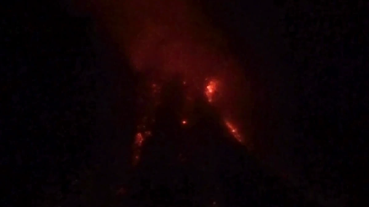
As of July 17, 2026 at 00:26 UTC, the Volcanic Ash Advisory Center (VAAC) Tokyo reported continued eruption activity at Mayon with volcanic ash clouds.
Kīlauea, Hawaii — Eruption Paused
Kīlauea volcano is not currently erupting; the summit eruption in Halemaʻumaʻu has paused as of July 16, 2026. Episode 51 of the ongoing eruption ended at 4:46 p.m. HST on July 15. The volcano's Aviation Color Code remains YELLOW/ADVISORY.

Seismic Activity
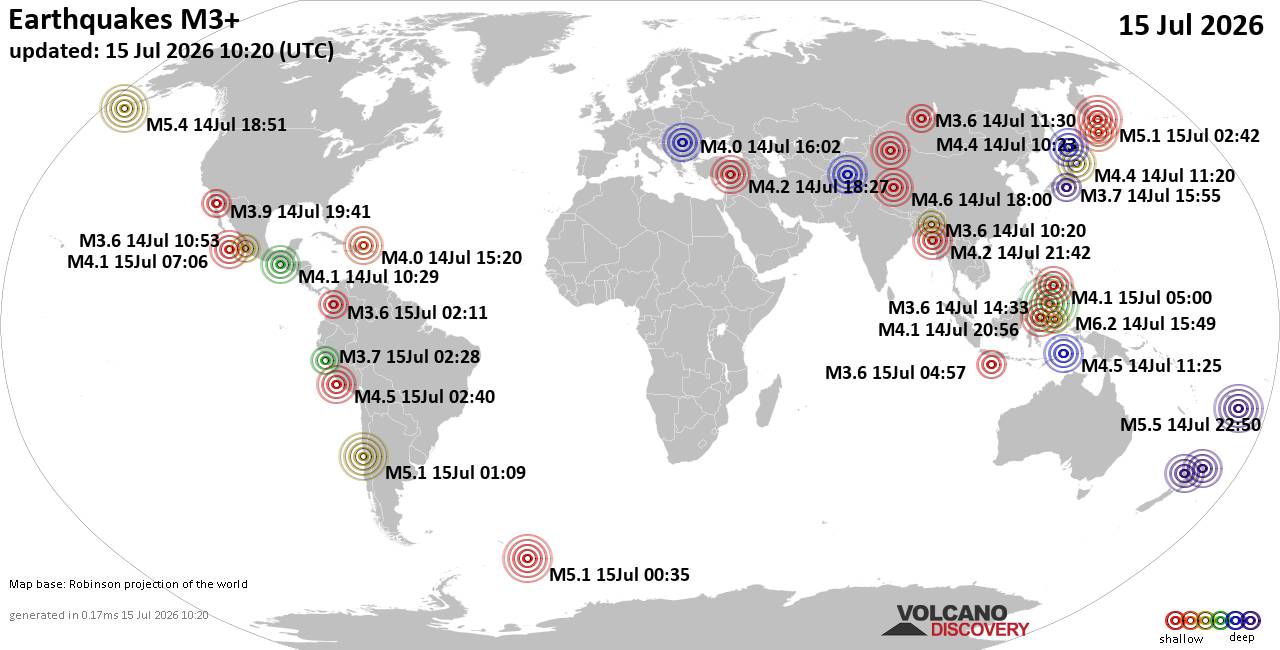
Minor earthquakes have been recorded across multiple regions in the past 24 hours:
-
New Zealand: Magnitude 2.4 earthquake near Te Anau on July 17 at 04:48 am (GMT +12).
-
West Papua Region, Indonesia: Magnitude 2.4 (unconfirmed) on July 17 at 08:23 am (GMT +9).
-
Halmahera, Indonesia: Magnitude 2.9 earthquake on July 17 at 10:10 am (GMT +9), likely an aftershock from an April 2 magnitude 7.4 event.
-
Northern Colombia: Magnitude 2.5 (unconfirmed) on July 15 at 12:26 pm (GMT -5).
Earth Science
No recent research findings or official preparation tips were available from sources updated after July 15, 2026.
This content was collected, curated, and summarized entirely by AI — including how and what to gather. It may contain inaccuracies. Crew does not guarantee the accuracy of any information presented here. Always verify facts on your own before acting on them. Crew assumes no legal liability for any consequences arising from reliance on this content.
Powered by