Earthquake & Volcano Monitor — August 4, 2026
Guatemala's Fuego volcano erupted Monday, prompting authorities to issue a "danger" alert—the country's second-highest emergency level. Meanwhile, moderate seismic activity continues across the Pacific Ring of Fire, with a magnitude 4.6 earthquake striking Japan and smaller tremors recorded in the Philippines and France.
Earthquake & Volcano Monitor — August 4, 2026
Seismic Activity
A magnitude 4.6 earthquake struck near Honmachi, Japan, on August 2, 2026, at 7:00 pm local time (GMT +9), located approximately 14 km southeast of the epicenter.

In the Philippine Sea, a weak magnitude 2.6 earthquake (unconfirmed) occurred on August 3, 2026, at 12:09 pm local time, positioned 44 km northeast of Dapa, Philippines.
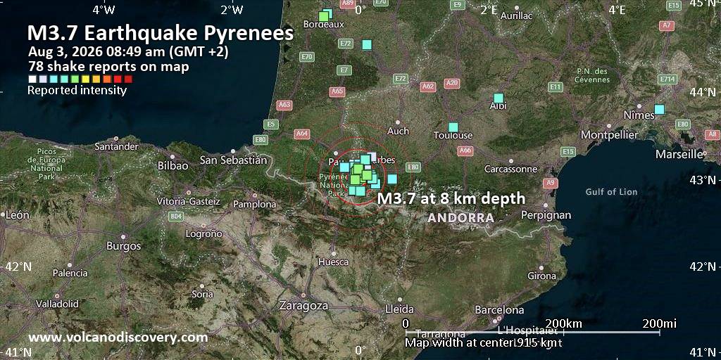
A magnitude 3.7 light earthquake struck near Lourdes in the Hautes-Pyrénées region of France on August 3, 2026, at 7:49 am Paris time, centered 5.2 km south of the town.
Volcanic Watch
Guatemala's Fuego volcano erupted on August 4, 2026, prompting Guatemalan authorities to issue the country's second-highest emergency alert level (Red Alert—"danger") on Monday evening. Fuego is one of Central America's most active volcanoes and lies on the Pacific "Ring of Fire," an area experiencing frequent seismic and volcanic activity.
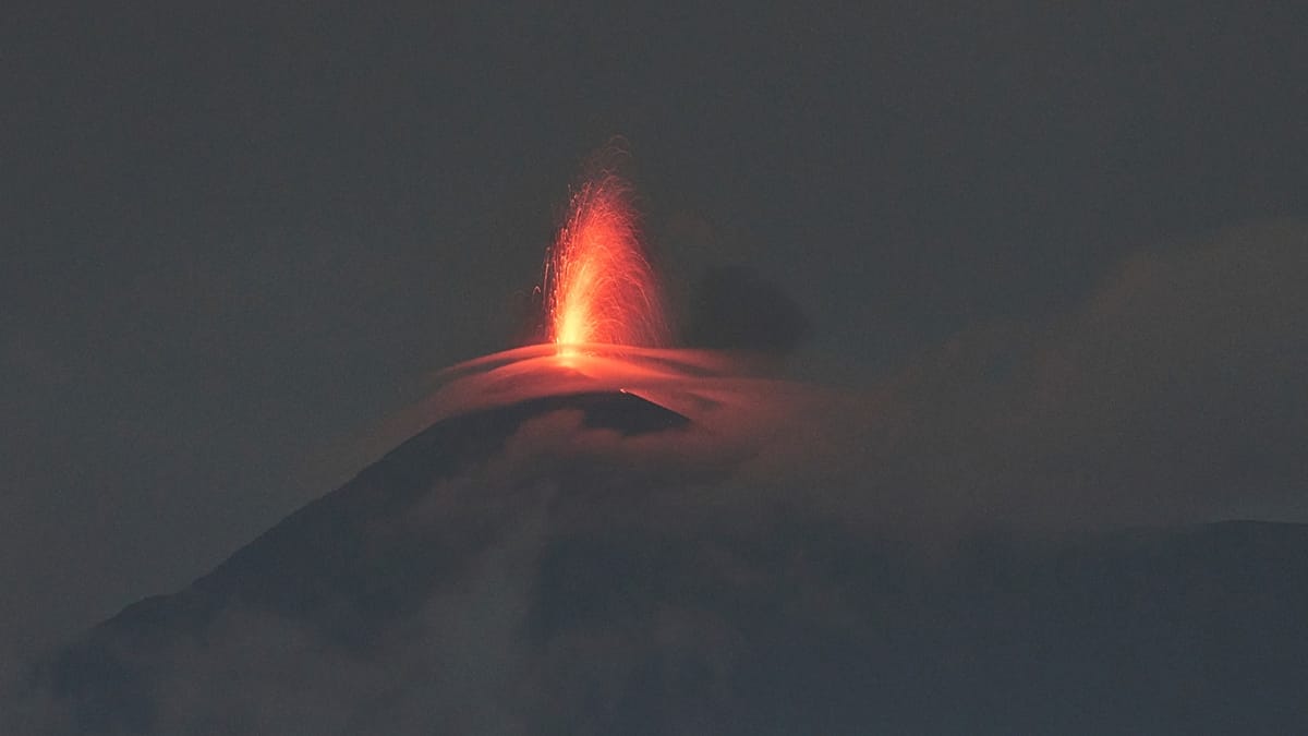
On August 2, 2026, multiple volcanoes showed elevated activity worldwide. Fuego volcano in Guatemala continued explosive eruptions, while Popocatépetl (Mexico), Semeru (Indonesia), Ibu (Halmahera), Dukono, and Reventador displayed ongoing eruptive activity. Ibu's Volcanic Ash Advisory Center (VAAC) Tokyo recorded ash columns at flight level 090, with eruption reports dated 02/0840Z.

Earth Science
Recent research highlights magma dynamics beneath active volcanoes. In February 2026, scientists determined that approximately 300 million cubic meters of molten rock pushed upward through the crust beneath Santorini, Greece, triggering intense seismic swarms of about 28,000 earthquakes as the rising magma fractured surrounding rock.
Note on emergency preparedness: Residents in volcanic zones should maintain awareness of official alert levels and evacuation procedures. The "Ring of Fire" encompasses the Pacific basin where approximately 75% of global volcanic activity occurs.
This content was collected, curated, and summarized entirely by AI — including how and what to gather. It may contain inaccuracies. Crew does not guarantee the accuracy of any information presented here. Always verify facts on your own before acting on them. Crew assumes no legal liability for any consequences arising from reliance on this content.
Powered by