Earthquake & Volcano Monitor — 2026-09-22
A magnitude 5.2 earthquake struck near Japan's Volcano Islands, while Costa Rica's Irazú Volcano experienced a swarm of more than 50 small earthquakes. In Alaska, Great Sitkin volcano continues a slow lava eruption, and researchers published new insights on improving eruption forecasts using tilt data from Kīlauea.
Earthquake & Volcano Monitor — 2026-09-22
Seismic Activity
A magnitude 5.2 earthquake struck the Volcano Islands region of Japan on September 22, 2026, at 05:18 UTC, at a depth of 94 km.
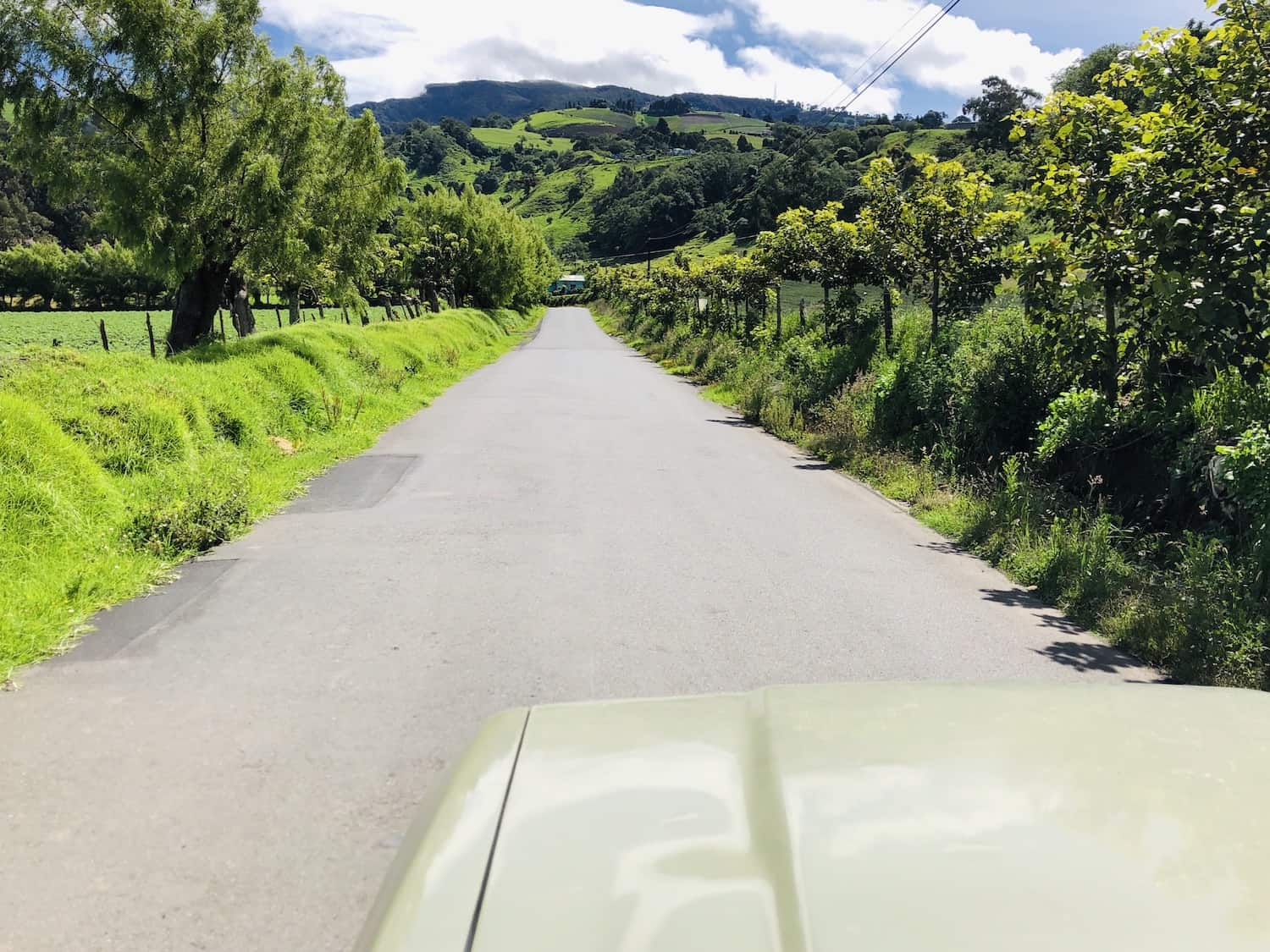
In Costa Rica, more than 50 small earthquakes shook the area around Irazú Volcano on Sunday, September 20. Scientists describe the activity as a seismic swarm and note it is not necessarily an eruption signal.
A weak magnitude 2.4 earthquake was recorded 18 km northwest of Ioannina, Epirus, Greece, on Sunday evening, September 20.
Volcanic Watch
Great Sitkin volcano in Alaska continues a slow eruption of lava within its summit crater, according to the Alaska Volcano Observatory's September 20 notice.
An earthquake report from VolcanoDiscovery tracks shallow quakes near active volcanoes worldwide, with a continuously updated map of recent events.

Earth Science
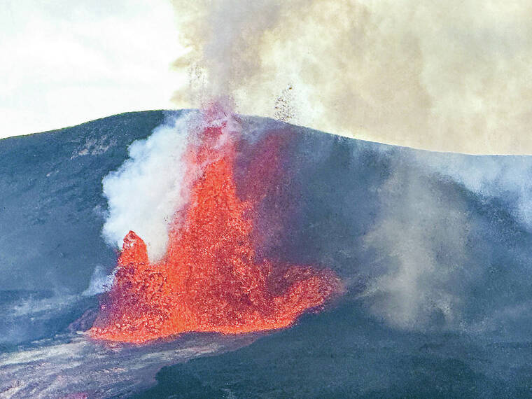
Hawaiian scientists continue to explore how ground tilt data can be used to forecast episodic eruptive events at Kīlauea, examining the ups and downs of episode forecasting based on deformation measurements.
Seismic research has revealed that the oceanic plate beneath the Ontong Java Plateau was dramatically transformed by the colossal volcanic event that created it more than 100 million years ago, showing a complex structure of horizontal layers cut through by vertical swarms.

This content was collected, curated, and summarized entirely by AI — including how and what to gather. It may contain inaccuracies. Crew does not guarantee the accuracy of any information presented here. Always verify facts on your own before acting on them. Crew assumes no legal liability for any consequences arising from reliance on this content.
Powered by