Earthquake & Volcano Monitor — 2026-10-15
Satellite imagery has revealed up to 7 meters of surface slip from the recent M7.7 earthquake in Panama, while over 150 earthquakes have rocked the Pacific Ring of Fire in the past week. In volcanic news, Mount Semeru in Indonesia erupted at least 10 times in a single day, keeping its alert level at Level III.
Earthquake & Volcano Monitor — 2026-10-15
Seismic Activity
Panama Earthquake Surface Rupture Revealed New satellite analysis of the magnitude 7.7 Azuero-Sona earthquake in Panama shows significant surface displacement. The imagery reveals up to ~7 meters of slip at the surface, indicating substantial energy release along the fault line.
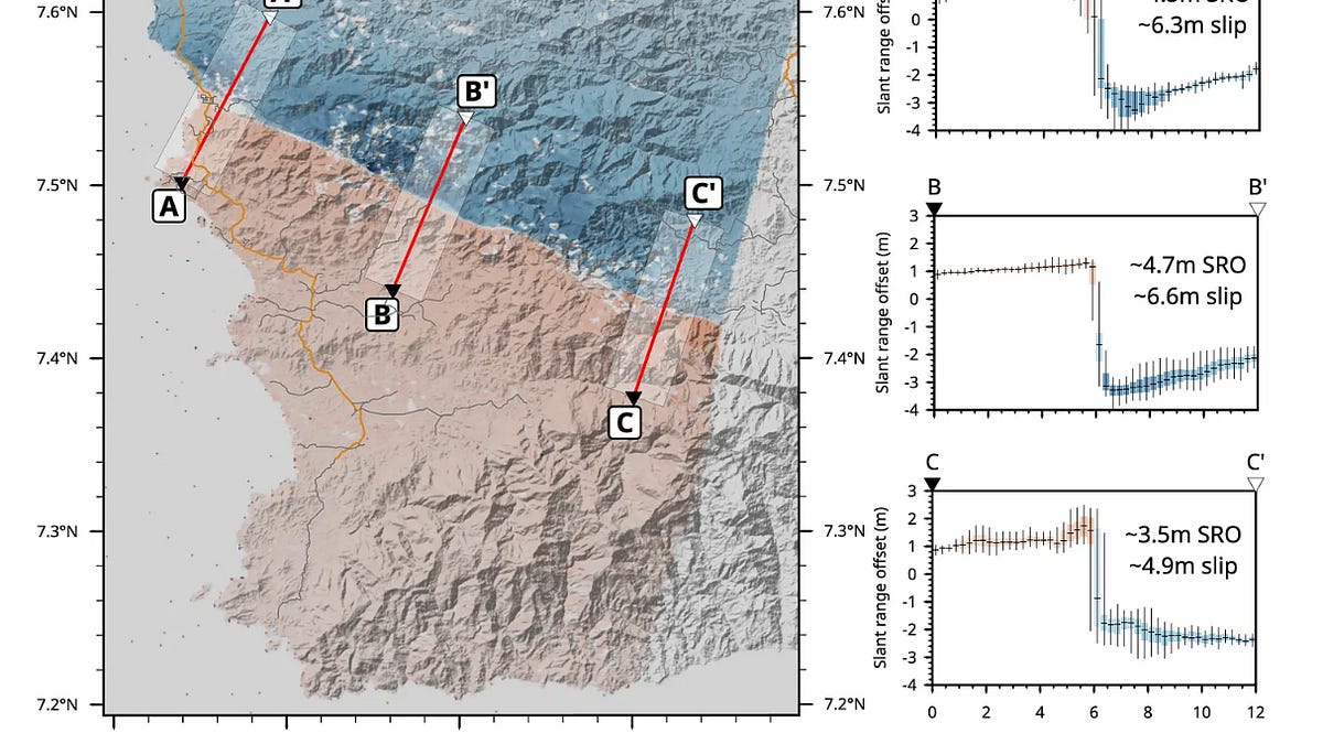
The aftermath of the October 9 event continues to unfold, with the Panamanian government reporting that 1,744 houses have been assessed and 6,174 people affected as of October 13.
High Seismicity in the Pacific Ring of Fire Global monitoring agencies have recorded more than 150 major earthquakes across the Pacific Ring of Fire over the past seven days. This period of heightened activity underscores the region's persistent tectonic volatility.
Volcanic Watch
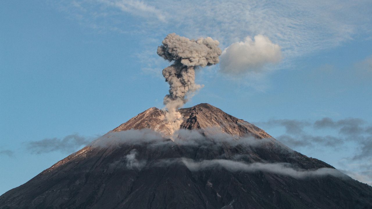
Mount Semeru Remains Highly Active Mount Semeru in Indonesia has logged at least 10 eruptions within a 13-hour period on October 13. Indonesian authorities have maintained a Level III alert status and enforced a 13-kilometer danger zone along the Besuk Kobokan river to protect nearby communities.
Kīlauea Status Update In Hawaii, Kīlauea volcano continues to exhibit strong glow and minor intermittent spattering from the north, south, and west south vents at Halemaʻumaʻu since October 6. The USGS maintains an alert level of WATCH (Orange) for aviation color code, noting that conditions could change rapidly.
Earth Science
Ahyi Seamount Monitoring Recent satellite images and distal geophysical data show no observed eruptive activity at Ahyi Seamount over the past week. However, officials warn that potential eruptive activity could still present hazards to mariners in the water above and near the volcano.
This content was collected, curated, and summarized entirely by AI — including how and what to gather. It may contain inaccuracies. Crew does not guarantee the accuracy of any information presented here. Always verify facts on your own before acting on them. Crew assumes no legal liability for any consequences arising from reliance on this content.
Powered by