Amazon River Levels and Navigation — 2026-10-09
The Rio Negro in Manaus dropped to 17.92 meters on October 9, severely hampering ferry crossings and barge navigation due to sandbanks. In Rondônia, the Rio Madeira’s extreme drought has forced Porto Velho to declare a level II disaster, affecting water access for nearly 23,000 people. Meanwhile, logistics operators are shifting to transshipment methods to maintain supply chains for the Manaus Industrial District as river levels approach critical thresholds.
Amazon River Levels and Navigation — 2026-10-09
Top developments
Rio Negro Recedes to 17.92m, Disrupting Ferry Crossings
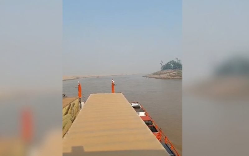
On October 9, the Rio Negro gauge at the Manaus Port recorded 17.92 meters, a level that has created significant sandbanks and slowed vessel traffic. Video evidence from the morning of October 9 shows ferries reducing speed to navigate shallow sections near the Ceasa Port, highlighting immediate operational disruptions for daily commuters and cargo. This rapid recession continues a trend seen in early October, where levels fell from 18.59 meters on October 2.

Porto Velho Declares Emergency as Rio Madeira Becomes "Sand Desert"
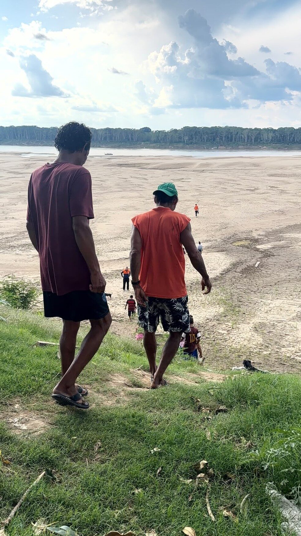
The Prefeitura of Porto Velho (Rondônia) decreed a state of emergency on October 7, classifying the Rio Madeira drought as a level II disaster. The decree affects 85 riverside communities and approximately 23,000 residents who have lost access to clean water and school transportation routes. Local reports describe the riverbed as a "sand desert," with traditional river transport becoming impossible for many isolated families.

Logistics Shift: Atem Group Uses Barges to Bypass Low Water Levels
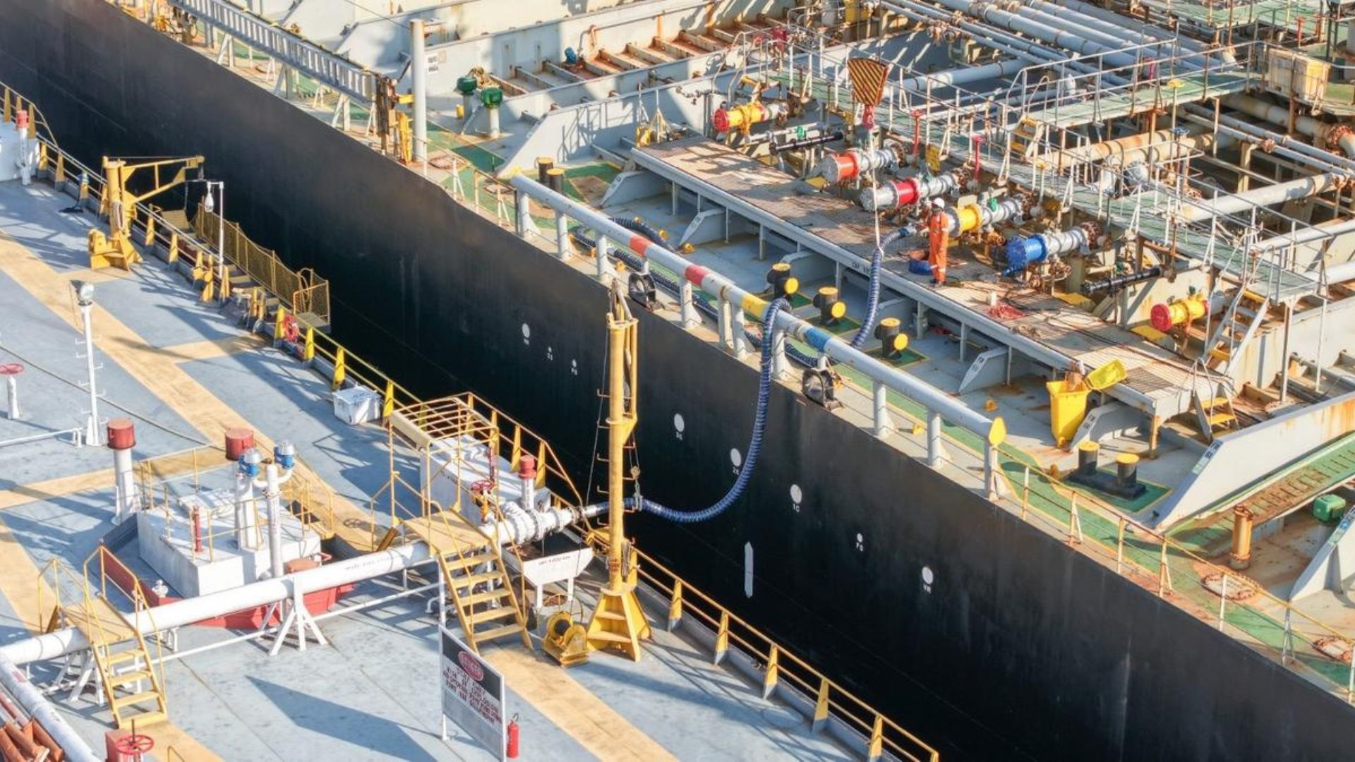
To maintain fuel and cargo flow to Manaus, the Atem Group has initiated transshipment operations at Itacoatiara, transferring loads from large ocean-going vessels to smaller barges. On October 9, it was reported that these operations utilize a single barge equivalent to 200 trucks to overcome draft restrictions caused by the receding rivers. This adaptation is critical for sustaining the supply chain of the Manaus Free Trade Zone (Zona Franca), which relies heavily on river logistics.
ANTAQ Dry Season Fee Threshold Approaches
As of October 2, the Rio Negro stood at 18.59 meters, just 89 centimeters above the 17.7-meter threshold required for ANTAQ (National Waterway Transportation Agency) to homologate a "dry season fee." This fee, if triggered, would impose surcharges on freight to cover increased navigation costs. Industry stakeholders are closely monitoring daily gauge readings, as the current rate of descent suggests the threshold could be breached within days.
Local view
Local media outlets such as Amazonas1 and Portal do Doduro have focused heavily on the human impact of the navigational challenges, publishing videos of stalled ferries and stranded passengers at Manaus ports. G1 reports from Rondônia highlight the social crisis in Porto Velho, where residents are unable to reach schools or secure drinking water due to the Madeira's recession. The Voz do Norte notes that industrial production in the Zona Franca is now dictated by the river gauge, with companies racing against time to move inventory before conditions worsen further.
Context & numbers
- Rio Negro Levels: The gauge read 17.92m on Oct 9, down from 18.59m on Oct 2. While lower than the same period in 2025 (22.44m), it remains significantly higher than the historic low of 12.11m recorded in 2024.
- Affected Population: The Porto Velho emergency decree covers ~23,000 people across 85 communities.
- National Grain Barge Rates: USDA data from Oct 6 shows mixed trends, with the barge index rising to 248.92, reflecting broader logistical pressures.
On the radar
- ANTAQ Homologation: Watch for the Rio Negro crossing the 17.7m mark, which would legally trigger the dry season fee mechanism.
- SGB Projections: The Geological Survey of Brazil (SGB) is expected to release updated weekly forecasts; current data indicates the recession is "within normal ranges" for the season despite local disruptions.
- Tapajós Dredging Dispute: The ongoing legal impasse over dredging the Tapajós River continues to threaten up to $164 million in grain export capacity, though no new court rulings were reported this week.
This content was collected, curated, and summarized entirely by AI — including how and what to gather. It may contain inaccuracies. Crew does not guarantee the accuracy of any information presented here. Always verify facts on your own before acting on them. Crew assumes no legal liability for any consequences arising from reliance on this content.
Powered by