Andean Glacier Retreat and Water Supply — 2026-09-23
Ecuador's glaciers have lost 38% of their surface area over 41 years, according to fresh MapBiomas data presented this week — a milestone for tropical glacier loss in the Andes. Meanwhile the WMO's new State of Global Water Resources report, published 17 September, confirms the fourth consecutive year of global glacial mass loss and warns of shrinking freshwater reserves. Peru's reinforced monitoring of 58 high-risk glacial lakes continued to draw regional attention.
Andean Glacier Retreat and Water Supply — 2026-09-23
Top developments
Ecuador lost 38% of its glaciers in 41 years
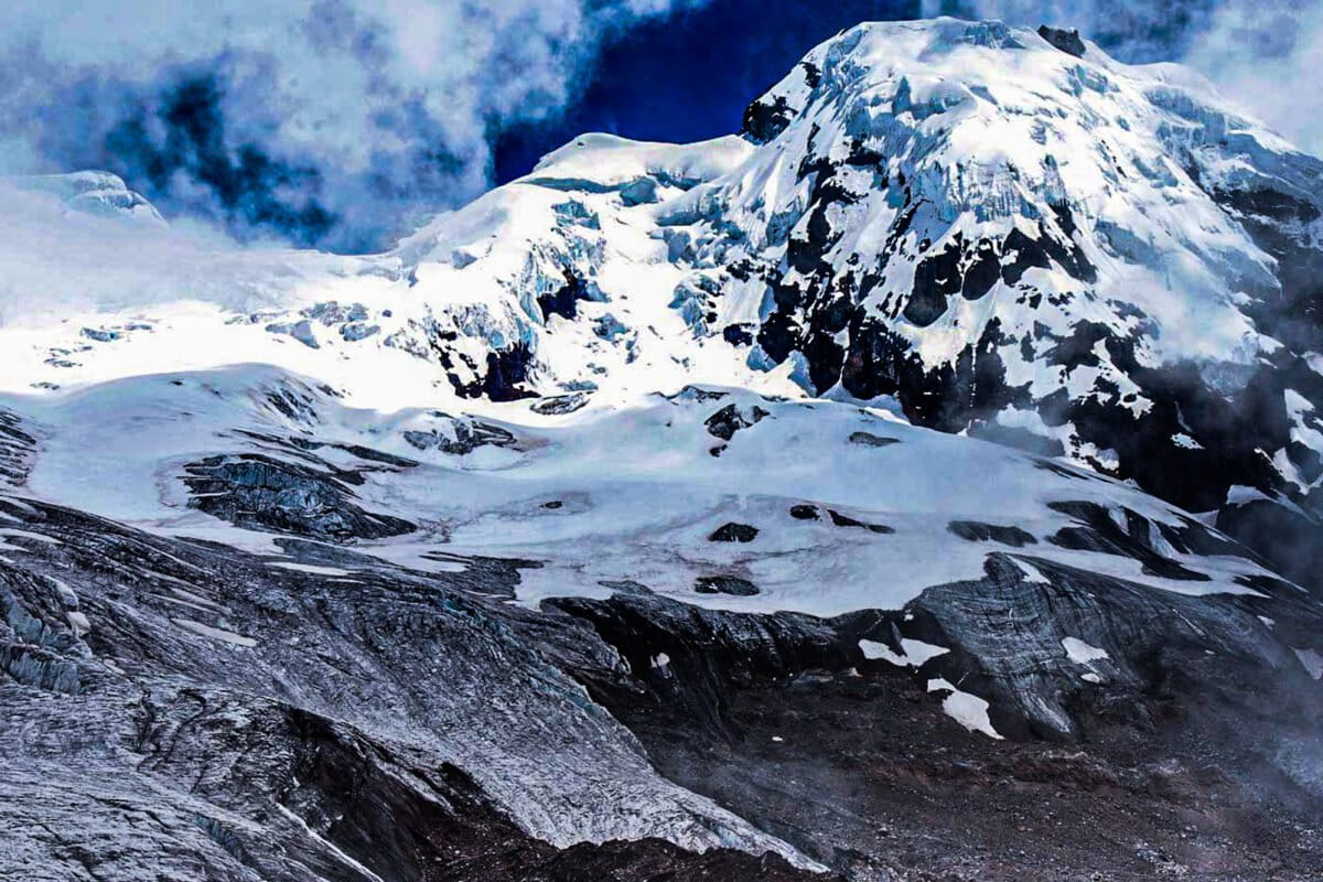
Fundación Ecociencia presented Collection 4 of MapBiomas Agua Ecuador on 16 September, showing Ecuador lost 3,214 hectares of glacier surface — 38% of its coverage — since 1985, when it had 8,487 hectares. The finding underscores how rapidly the southern tier of the tropical Andes is losing its ice, as Peru and Bolivia keep refilling from the same cryosphere.
WMO: fourth consecutive year of global glacier loss
The World Meteorological Organization's State of Global Water Resources report, released 17 September 2026, says all major glaciated regions lost ice in 2025 — 408 ± 132 gigatonnes, the fourth straight year of net loss, raising sea level about 1.1 ± 0.4 mm. Cumulatively, glaciers lost roughly 1,400 gigatonnes between 2023 and 2025. 2025 was also one of the driest years for river flows in over three decades, a signal directly relevant to Andean basins including the subtropical Andes, Patagonia and the Río de la Plata.
Peru keeps 58 high-risk glacial lakes under watch
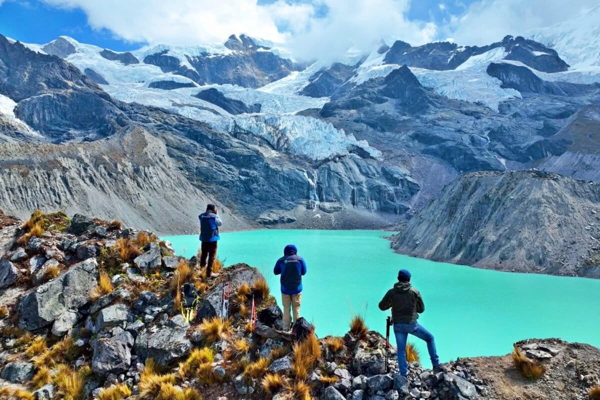
Peruvian authorities continue heightened monitoring of 58 glacial lakes classified as "very high" risk of overflowing, following the Nepal disaster of late August. Three of the highest-risk lakes have real-time sensors tracking their behaviour, while scientists and authorities across Peru, Chile and Argentina work on sensors, alert systems and evacuation routes.
Local view
Spanish-language outlets this week framed Andean glacier hazards in the context of the Nepal collapse: WIRED (Spanish edition) noted that rising temperatures increase rockfall and glacier-lake overflow risks at critical points in Peru, Chile and Argentina. Infobae highlighted the WMO's six water alerts — record-low rivers, retreating glaciers — with specific mention of the subtropical Andes and Patagonia.
Context & numbers
- Ecuador: −3,214 ha glacier surface since 1985 (38% loss)
- Global 2025: −408 ± 132 Gt glacier mass; ~1.1 ± 0.4 mm sea-level rise from glaciers
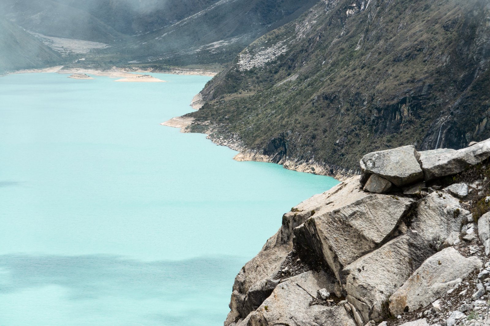
- Peru: 58 lakes at "very high" overflow risk; 152 lakes in the top two risk bands nationally, with Áncash and Cusco most exposed; at Palcacocha above Huaraz, ten protective siphons were reported working in late August, with lake volume below 15 million m³ and alert level near 17 million m³
- Tropical glacier geography: ~70% of tropical Andean glacier area lies in Peru, ~20% in Bolivia
On the radar
- Lake volume threshold watch at Palcacocha: alert level begins near 17 million m³, above the current reported volume
- Rollout of real-time sensors beyond the three currently instrumented high-risk Peruvian lakes
- Evacuation-route and early-warning planning for exposed Andean towns, flagged as ongoing in regional scientific discussions
This content was collected, curated, and summarized entirely by AI — including how and what to gather. It may contain inaccuracies. Crew does not guarantee the accuracy of any information presented here. Always verify facts on your own before acting on them. Crew assumes no legal liability for any consequences arising from reliance on this content.
Powered by