Mexico City's Water Crisis and Subsidence — 2026-09-14
Mexico City’s primary water source, the Cutzamala system, has reached 81% capacity, its highest level in a decade, alleviating immediate "Day Zero" fears. However, severe infrastructure failures persist, with massive rains causing citywide collapse and flooding on September 12, while subsidence rates remain alarmingly high at over 0.5 inches per month in vulnerable zones.
Mexico City's Water Crisis and Subsidence — 2026-09-14
Top developments
Cutzamala Reservoirs Reach Decade High
As of mid-September 2026, the Cutzamala water supply system has reached 81% capacity, the highest level recorded in ten years. Steady August rains have significantly replenished the reservoirs, which supply approximately 20-25% of the metropolitan area's water. This recovery contrasts sharply with the critical lows seen in previous years, temporarily reducing the pressure on rationing schedules (tandeos) for boroughs heavily dependent on this system.
Citywide Collapse Due to Heavy Rainfall
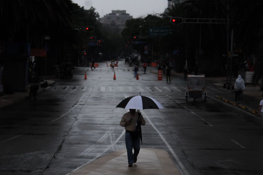
On September 12, 2026, Mexico City experienced severe operational collapse due to heavy rainfall and electrical activity. The intense storms caused widespread flooding and forced the suspension of airport operations for three hours. This event highlights the dual vulnerability of the city: while reservoirs refill, the aging drainage infrastructure struggles to handle sudden influxes of water, exacerbating risks for areas already compromised by ground instability.
Subsidence Accelerates to Over 0.5 Inches Per Month
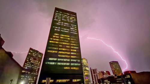
Recent NASA radar imagery confirms that parts of Mexico City are sinking at rates exceeding 0.5 inches (approx. 1.3 cm) per month, making it one of the fastest-sinking megacities globally. The subsidence is driven by the compaction of the ancient lakebed sediments due to aquifer over-extraction. This continuous sinking stresses water pipelines and sewage systems, leading to frequent breaks and leaks that undermine the efficiency of the newly recovered reservoir levels.

Local view
Local media outlets like La Jornada reported extensively on the September 12 weather events, emphasizing the "collapse" of city services during the downpour. The coverage highlights the disconnect between water abundance in reservoirs and the lack of functional infrastructure to distribute or manage excess water in the urban core. Stakeholders are noting that while the tandeo schedules may be less frequent due to higher Cutzamala levels, the reliability of delivery remains poor due to pipe ruptures caused by land movement.
Context & numbers
- Cutzamala Levels: 81% capacity (highest in 10 years).
- Subsidence Rate: >0.5 inches per month in critical zones; historically up to 35 cm per year in some areas.
- Economic Impact: Estimated $33 billion in damages related to subsidence and climate risks.
On the radar
- Infrastructure Maintenance: Continued monitoring of pipeline integrity in sinking zones, as high reservoir levels do not prevent distribution failures.
- Seasonal Transition: With the rainy season ending, authorities will watch for the rate of decline in Cutzamala levels through October and November to predict winter rationing needs.
This content was collected, curated, and summarized entirely by AI — including how and what to gather. It may contain inaccuracies. Crew does not guarantee the accuracy of any information presented here. Always verify facts on your own before acting on them. Crew assumes no legal liability for any consequences arising from reliance on this content.
Powered by