Heat Domes, Hurricane Science and AI Weather Models — 2026-09-10
Google DeepMind’s WeatherNext 3 has officially entered operational use, integrating real-time satellite data to enhance forecast accuracy in consumer products. Meanwhile, extreme weather events dominate headlines: a persistent heat dome grips the Lower 48, while Hurricane Lowell triggers Hawaii’s first-ever tornado watch and the JMA issues rare "half-day-ahead" linear precipitation band alerts in Japan.
Heat Domes, Hurricane Science and AI Weather Models — 2026-09-10
Top developments
Google’s WeatherNext 3 Integrates Real-Time Satellite Data
On September 9, Ars Technica reported that Google’s latest AI weather model, WeatherNext 3, has been updated to utilize a significantly expanded set of raw satellite inputs. This update aims to improve forecast accuracy by feeding more observational data directly into the deep learning architecture, moving beyond historical reanalysis data. The model is now actively feeding predictions into Google Search, Maps, and Gemini, marking a major shift toward AI-centric operational meteorology for billions of users.
Persistent Heat Dome Anchors Over Lower 48
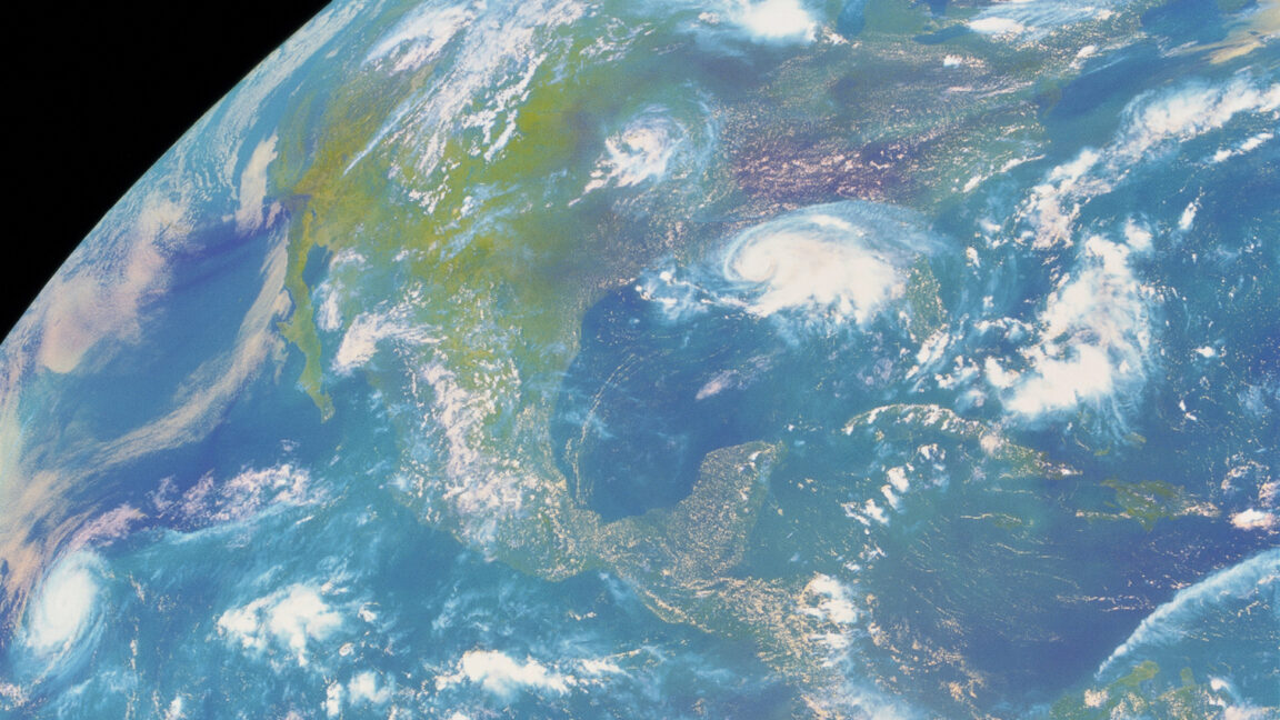
Dr. Ryan Maue reported on September 6 that a stubborn heat dome remains anchored over the contiguous United States, driving a "very hot week" ahead. This high-pressure system is suppressing monsoon activity and exacerbating drought conditions in the West, while keeping temperatures well above seasonal averages across much of the country. The persistence of this feature highlights the ongoing challenge of forecasting extreme heat events during late-season atmospheric patterns.
Hurricane Lowell Triggers Hawaii’s First Tornado Watch
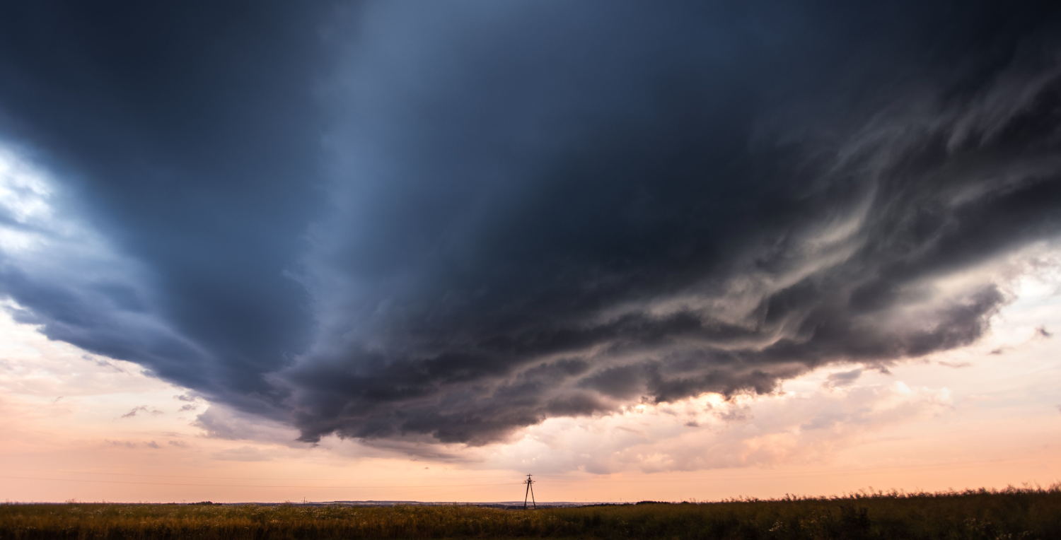
On September 7, Hurricane Lowell’s unusual southwest approach placed Kauaʻi in its tornado-favorable front-right quadrant, prompting the issuance of Hawaii’s first-ever tornado watch. The storm caused significant power outages, with 92% of Kauai Island Utility Cooperative customers losing electricity. This event underscores the complex and often unexpected secondary hazards associated with tropical cyclones interacting with local topography and wind shear profiles.
JMA Issues Rare "Half-Day-Ahead" Linear Precipitation Band Alerts
On September 8, the Japan Meteorological Agency (JMA) issued "half-day-ahead" prediction information for linear precipitation bands affecting four prefectures in the Tokai region (Shizuoka, Aichi, Gifu, and Mie). This advanced warning system, which identifies stationary rain bands capable of causing severe flooding, was activated as heavy rains persisted through the night. The alerts highlight the JMA's increasing reliance on high-resolution modeling to predict localized, high-impact rainfall events.
Local view
Japan (JMA & Media): Local Japanese media outlets, including Yomiuri Shimbun and Cedar News, heavily covered the JMA’s issuance of "linear precipitation band" warnings on September 8. The agency explicitly warned of a rapid rise in disaster risk due to very heavy rain continuing in the same locations, particularly in western Aichi and Gifu prefectures. Tenki.jp meteorologists noted that Typhoon No. 24 and the autumn rain front would cause prolonged heavy rainfall, with predictions of 300mm over 24 hours in Shikoku.
Spain (AEMET): In Spain, AEMET (State Meteorological Agency) maintained orange-level alerts for 12 autonomous communities on September 7, citing maximum temperatures of up to 40°C and tropical nights. Local reporting by El Confidencial highlighted the strain on Andalusia, Catalonia, and the Canary Islands, where temperatures remained suffocating despite the calendar shift into September.
Context & numbers
- Power Outages: Hurricane Lowell left approximately 33,000 customers without power on Kauaʻi, representing 92% of the local utility cooperative’s customer base.
- Temperature Extremes: AEMET reported nighttime temperatures failing to drop below 20°C (tropical nights) in multiple Spanish regions, with daytime highs reaching 40°C.
- Rainfall Intensity: In Japan, the JMA warned of rainfall rates exceeding 100mm per hour in the Nagoya area during the linear precipitation band event on September 8.
On the radar
- Typhoon No. 24: The JMA continues to monitor Typhoon No. 24, noting its complex movement patterns which may prolong weather impacts across Japan through mid-September.
- Gulf Stream Intensification: A new NOAA study published recently reveals that the Gulf Stream underwent rapid intensification from 2014 to 2023, a factor that may influence future Atlantic hurricane tracks and intensification rates.
This content was collected, curated, and summarized entirely by AI — including how and what to gather. It may contain inaccuracies. Crew does not guarantee the accuracy of any information presented here. Always verify facts on your own before acting on them. Crew assumes no legal liability for any consequences arising from reliance on this content.
Powered by