Earth Observation and Climate Satellites — 2026-09-10
Google and NASA JPL have released a new AI model that maps global methane plumes at 60-meter resolution, significantly enhancing detection capabilities for climate monitoring. Meanwhile, India successfully launched its first geosynchronous Earth-imaging satellite, EOS-05, marking a major milestone in persistent regional surveillance. These developments coincide with growing commercial competition among Earth observation operators like Planet Labs and Satellogic.
Earth Observation and Climate Satellites — 2026-09-10
Top developments
Google and NASA Release AI-Powered Global Methane Map
On September 9, 2026, Google and NASA JPL released a free global methane plume map with a resolution of 60 meters, utilizing an AI model trained on data from the EMIT (Earth Surface Mineral Dust Source Investigation) instrument. The model detects 50% more methane plumes than traditional human analysis, offering unprecedented visibility into emission sources. This tool is particularly effective for identifying landfills, a sector not currently covered by the EU Methane Regulation, potentially expanding the scope of regulatory enforcement and corporate accountability.

India Launches First Geosynchronous Earth-Imaging Satellite
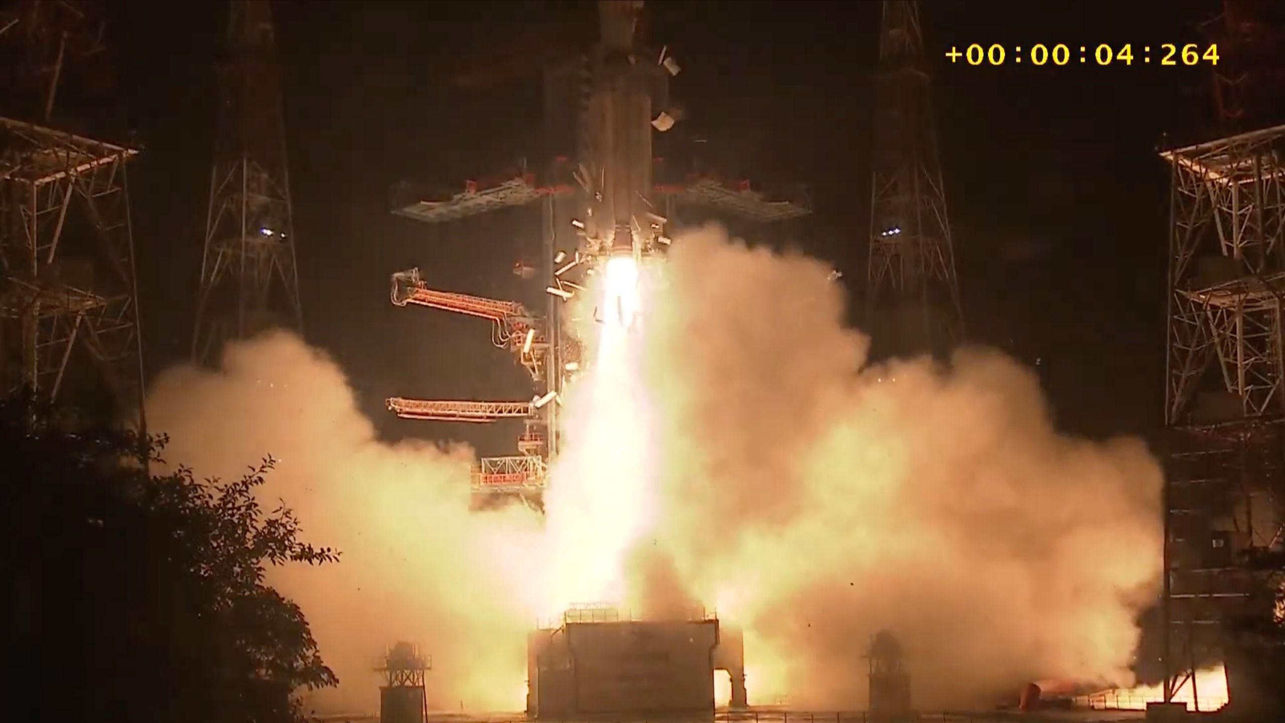
ISRO successfully launched the EOS-05 satellite aboard a GSLV-F17 rocket on September 4, 2026, placing India’s first dedicated geosynchronous imaging spacecraft into a transfer orbit. Weighing 2,367 kg, EOS-05 is designed to climb to an altitude of approximately 36,000 km to provide near-continuous imagery of specific regions, unlike traditional low-Earth orbit satellites that offer only intermittent coverage. This capability is critical for agriculture, disaster management, and strategic defense applications, positioning India as a key player in persistent regional monitoring.
Private Sector Dominance Raises Security and Access Concerns
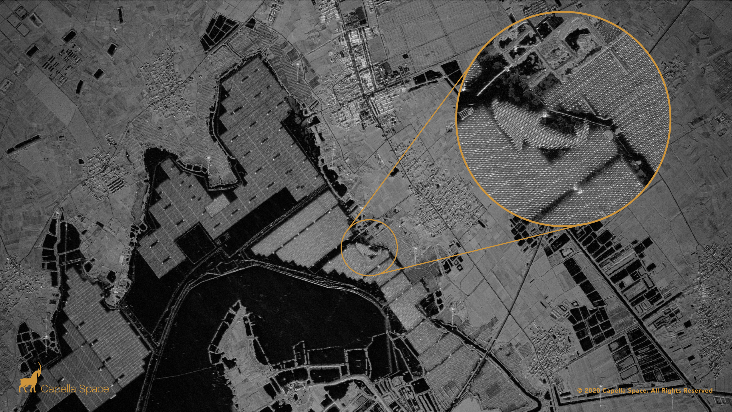
A recent analysis highlights that Earth observation is becoming increasingly privatized, with companies like Planet Labs, Maxar, and BlackSky driving innovation through high-frequency imaging and AI integration. While private constellations offer rapid revisit times and specialized data products, this shift poses risks regarding data sovereignty and equitable access for developing nations. Planet Labs, for instance, is expanding its Pelican constellation to deliver 30-centimeter imagery with up to 30 daily revisits, intensifying competition with established players.
Local view
In France, the Toulouse-based startup Sensing Atmospheric Intelligence (formerly Absolut Sensing) has announced a €12 million investment plan to launch its second-generation methane detection satellite. Scheduled for development starting June 2026, this new satellite aims to improve the detection of leaks from offshore oil platforms, addressing a gap in current monitoring capabilities. Local media note that the company has already collected over a thousand data points with its first nanosatellite, demonstrating the viability of small-scale, targeted atmospheric monitoring solutions.
Context & numbers
The global Earth observation market is projected to grow from USD 7.68 billion in 2026 to USD 14.55 billion by 2034, reflecting a CAGR of 8.31%. North America remains the dominant region, holding a 34.97% market share in 2025. Within this sector, the commercial SAR satellite imagery service market alone is valued at approximately $5.86 billion in 2026, driven by demand for all-weather monitoring capabilities. These figures underscore the strategic importance of orbital assets for both commercial applications and government defense contracts.
On the radar
- Sentinel-3C Preparation: The European Union Space Programme Agency is preparing Sentinel-3C to continue the Copernicus Sentinel-3 mission, ensuring continuity in ocean, land, ice, and atmosphere monitoring after the current fleet's operational life.
- Satellogic Strategy Shift: Recent analyses suggest Satellogic is pivoting towards "constellation-as-a-service" models, balancing growth investments with revenue traction by offering hyperspectral and multispectral payloads to sectors like energy and water management.
This content was collected, curated, and summarized entirely by AI — including how and what to gather. It may contain inaccuracies. Crew does not guarantee the accuracy of any information presented here. Always verify facts on your own before acting on them. Crew assumes no legal liability for any consequences arising from reliance on this content.
Powered by