
Earth Observation and Climate Satellites — 2026-10-24
Recent satellite data has triggered international regulatory actions, with the UN issuing warnings to Chevron over methane plumes detected at the Gorgon project and reports revealing hundreds of leaks in New Mexico. Meanwhile, Europe’s newly launched Sentinel-3C satellite is delivering its first high-resolution images, confirming its potential for monitoring ocean and ice changes.
Earth Observation and Climate Satellites — 2026-10-24
Top developments
UN Warns Chevron Over Satellite-Detected Methane Plumes
Satellite monitoring systems detected significant methane plumes above Australia’s Gorgon gas complex, prompting a formal warning from the United Nations and investigations by state authorities. This incident highlights the growing power of orbital data to enforce climate commitments and hold major energy operators accountable, potentially influencing future compliance standards for the oil and gas sector.
Sentinel-3C Delivers First Spectacular Earth Images
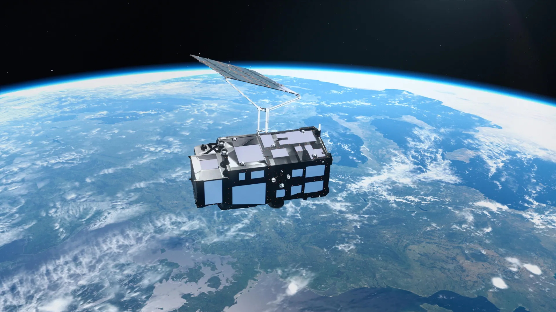
Just two weeks after its September 15 launch, the European Space Agency’s Sentinel-3C satellite has returned its first high-quality images and measurements. The new data reveals detailed views of the snowy Alps, Arctic ice, and Caribbean waters, confirming the satellite's readiness to support Copernicus services for tracking sea-level rise and ice-sheet melting. This early success strengthens the continuity of Europe’s environmental monitoring capabilities.
166 Major Methane Leaks Detected in New Mexico
A new report utilizing satellite data identified 166 major methane leaks across 121 oil and gas facilities in New Mexico between January 2025 and April 2026. These findings underscore the persistent challenge of infrastructure emissions and demonstrate the reliability of space-based sensors in pinpointing specific leak sources for regulatory intervention and repair.

Satellites Validate Methane Detection Accuracy in Blind Test
A yearlong experiment involving controlled methane releases in the Arizona desert demonstrated that current satellite systems can detect 92-100% of plumes on clear days. Published in Nature, these results validate the technology’s potential for global emissions monitoring, though clouds and AI false alarms remain significant hurdles to universal reliability.

Local view
French-language media outlets, including Futura Sciences, have highlighted the "fantastic and spectacular" nature of the new Sentinel-3C images, emphasizing their value for long-term climate tracking. Local stakeholders view the mission as a critical consolidation of Europe’s ten-year observation strategy, ensuring uninterrupted data flow for environmental policy.
Context & numbers
The satellite-based Earth observation market is projected to reach $10.02 billion by 2030, driven by a 7.3% compound annual growth rate from its 2026 valuation of $7.54 billion. Commercial SAR imagery services alone are valued at approximately $5.86 billion in 2026, reflecting robust demand for all-weather monitoring capabilities.
On the radar
- Carbon Mapper Expansion: Carbon Mapper has launched a second satellite to enhance its capacity to detect and quantify large-scale methane emissions, expanding its commercial monitoring footprint.
- Indonesian Peat Fires: Satellite observations continue to track stubborn forest and peatland blazes in Indonesia as suppression teams enter the final weeks of October.
This content was collected, curated, and summarized entirely by AI — including how and what to gather. It may contain inaccuracies. Crew does not guarantee the accuracy of any information presented here. Always verify facts on your own before acting on them. Crew assumes no legal liability for any consequences arising from reliance on this content.
Powered by
